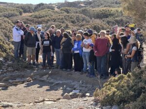

During the 2014 Zagora Archaeological Project’s excavation season Dr Hugh Thomas posted a great blog, enthusiastically explaining his use of emerging drone technology (also referred to as UAVs or Unmanned Aerial Vehicles) at the site.
As an early adopter of this new technology Dr Thomas was using the drone for aerial photography. This was a huge leap forward at the time, particularly after using a kite during the previous 2013 season, which was his first real foray into the world of aerial photography. Using a kite was fraught with issues and many days of the dig were either too windy or, surprisingly for Zagora, not windy enough! Launching the kite and attaching the camera could take up to an hour and aligning the camera over a target was often a guessing game as it wasn’t possible to see what the camera was shooting!
In 2014 the drone was a DJI Phantom 2. This small quadcopter weighed approximately 1kg and had a maximum payload of approximately 400 grams, could fly about 15-25 minutes, with an average flight time of around 17-19 minutes. It was outfitted with a Canon S110 camera, together with a video transmitter, which was connected to the Canon by a home-made USB video cable allowing a live video stream to be watched on the ground by the pilot. The drone also carried a device for measuring the altitude of the drone, allowing the pilot to photograph the site from approximately the same height over multiple sessions. Even in 2014 drones used GPS to hold themselves within a plane of a few metres horizontally and one metre vertically. Combined with the viewing system that allowed the pilot to make small corrections to the drone resulted in more photographs being on target.
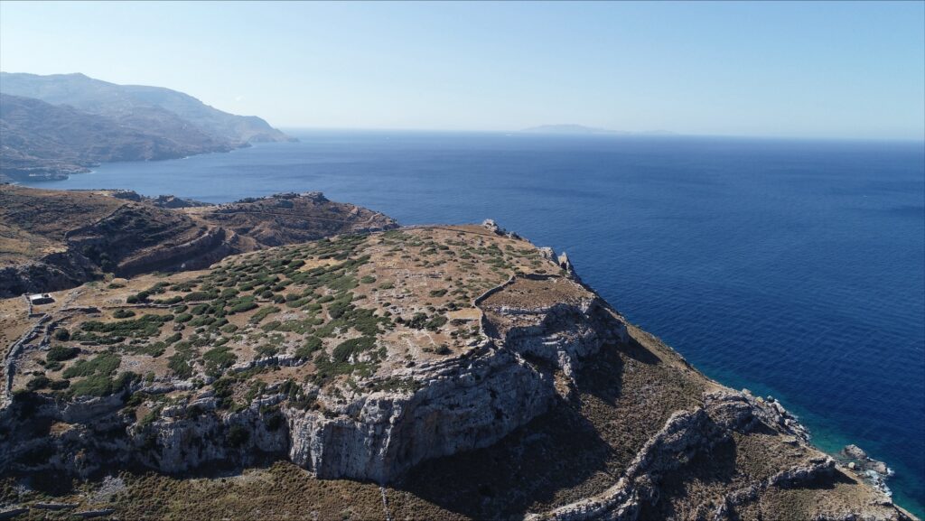
Photo by Dr Hugh Thomas taken in 2014.
Drone use in 2024
Dr Thomas is returning to Zagora this year as a trench supervisor and will join forces with Brad Arsenault, this season’s drone imaging specialist. A decade after the first use of a UAV at Zagora, advances in GPS, digital imaging, and drone technology together with software and processing capability are producing highly detailed photographs of the site.
Modern photogrammetry is the process of making precise measurements of objects and terrain features from 2D photographs by capturing multiple images and stitching them together to create digital 2D or 3D models of the physical world. In archaeology we use both aerial and terrestrial (a handheld camera or tripod) photography. Photogrammetry software now automates the identification and correlation of common features across the multiple images taken by the drone.
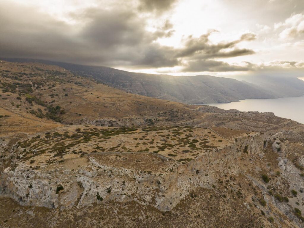
In archaeology, and for a site like Zagora, aerial photogrammetry is now a crucial tool for remote sensing data collection in hard-to-reach locations that may be challenging or dangerous for ground-based methods.
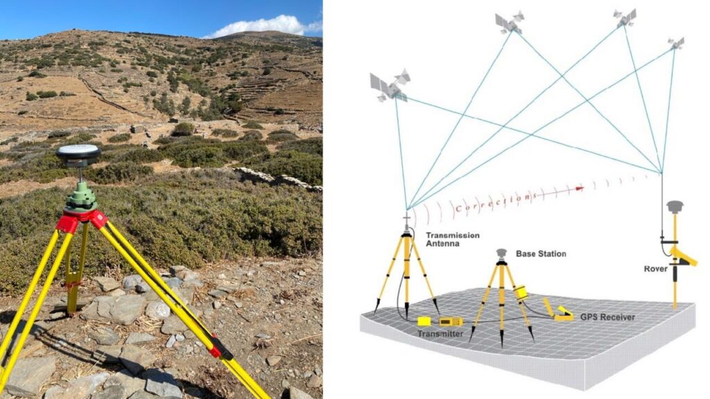
The drone is also integrated with GNSS (Global Navigation Satellite System) to automate the process of orientation, perspective, height and location of the onboard, built-in camera (this can be done in real time or afterwards). GNSS can now provide 3D coordinates of survey points with sub-centimetre accuracy, providing us with highly accurate models and another reason for the use of aerial photogrammetry.
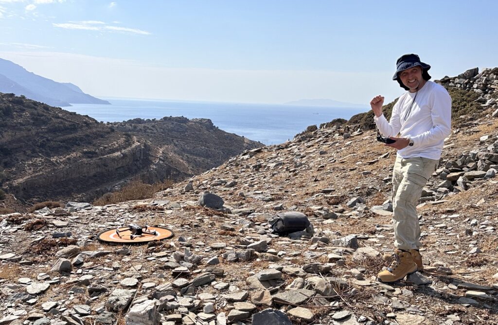
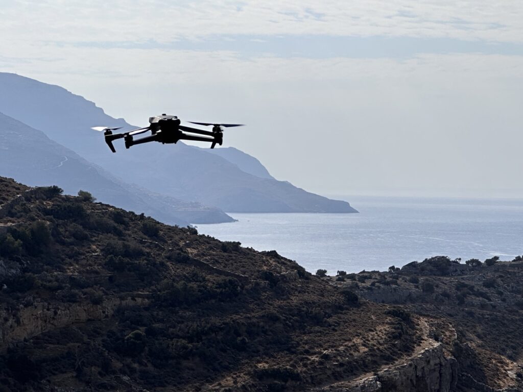
This season’s drone operated by Brad is a DJI Mavic 3M (multispectral) fitted with a standard 20mp RGB camera and weighs roughly 1kg with a flight time of nearly 35 minutes. It will be used to create one of the most detailed aerial models of Zagora yet produced and include additional areas of the landscape identified as being of particular interest by the ZAP team.
We look forward to seeing the results generated by the 2024 Zagora Archaeological Project season!