For teachers
Much of the content on this website has been specially tailored for a secondary school audience. It aims to teach students about the process of archaeology and about the Geometric settlement of Zagora (c 900-700 BCE) on the Greek Aegean island of Andros.
The navigation under ‘The Site’ and ‘The Project’ provides useful background information that can be used in the secondary classroom. About Zagora provides an introduction to the settlement site and the archaeological research which has been undertaken there, and Q&A with archaeologists introduces archaeologists and the different work they do.
KEY BLOG POSTS – ABOUT THE 2012 SEASON
Following are links to blog posts which are particularly useful in explaining the 21st century process of archaeology taking place at Zagora:
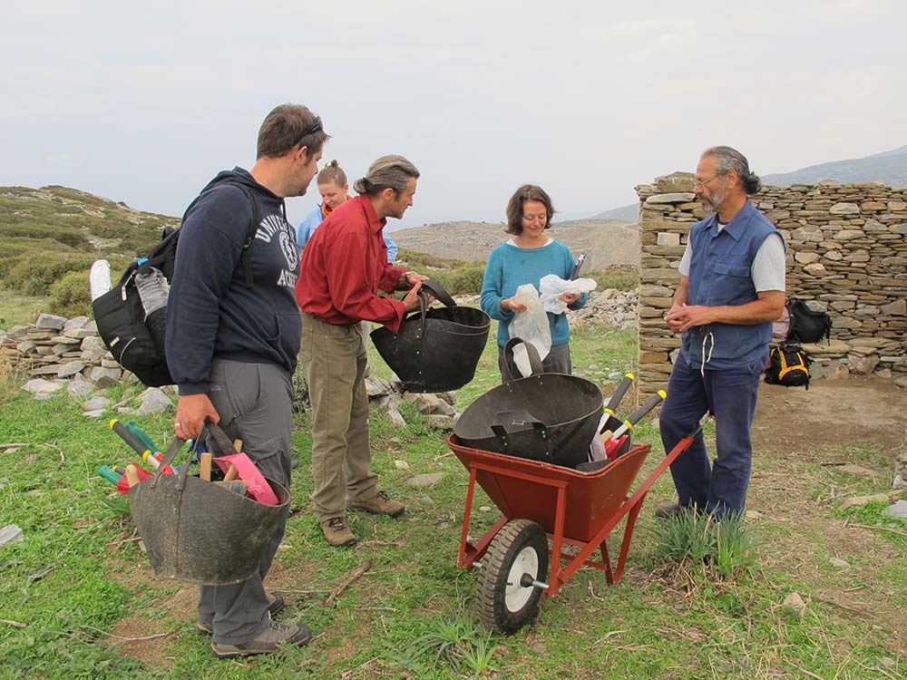
Site familiarisation – first day at Zagora, 2012 season.
Geophysical analysis – informs the excavations at Zagora. The four technologies used were: Ground penetrating radar (GPR); Differential magnetometer or gradiometer; Resistivity or resistance meter; and Electromagnetic instrument.
Archaeometry – surface luminescence dating of built structures at Zagora.
Geology of Zagora – understanding the geology of the site and surrounding areas is vital to understanding Zagora itself.
Iron mines of Andros – informing consideration of iron slag at Zagora.
Total Station Survey – explains how we know exact locations on site.
Grids marked out with string – define the boundaries within which the geophysical analysis and excavation work is done. Location information from the Total Station Survey enables precise grid positioning.
Grids as they apply at Zagora – a more detailed explanation.
A state-of-the-art, database – developed by Arts eResearch at the University of Sydney, this custom-designed database is being used as the repository of the data gathered from Zagora.
Archaeological reconnaissance – visual survey of the Zagora surface.
Archaeological transect survey – of the surrounding areas of the walled settlement area.
Excavation begins – digging begins on two test trenches.
More – on the test trench excavations.
In the brine of ancient mariners – considering Zagora from a mariner’s perspective.
A short, humorous video showing the work of the first week (2 minutes 26 seconds) – mostly site clearing to enable the geophysical work.
A short video explaining what you can tell from a rim sherd (50 seconds) – a pottery fragment from the rim, base or handle of an object is known as a diagnostic sherd, and from it you can tell the probable size, shape and style of the object it comes from.
A short video about mules and horses (1 minute 29 seconds) – we used traditional methods to carry some of the scientific and building gear to and from the site because of the remote location of Zagora.
KEY BLOG POSTS – ABOUT THE 2013 SEASON
- Directors’ plans for excavations in 2013 – part 1
- Directors’ plans for excavations in 2013 – part 2
- Directors’ plans for processing finds in 2013
- An outline of work in Excavation Area 1
- An outline of work in Excavation Area 2
- An outline of work in Excavation Area 3
- An outline of work in Excavation Area 4
- An outline of work in Excavation Area 5
A description of Satellite remote sensing – the process in which a satellite image is analysed to assist in determining where further exploration may be most productive. There is a related post about the team of Dr Adela Sobotkova and Petra Janouchova who undertook this work for ZAP in 2013. This was the first time this process had been used at Zagora.
Description of the process of soil sample flotation of marine debris and seeds. This was the first time this process had been used at Zagora.
* Apart from ‘Games/activities for children’ which is for younger children