Archaeological field tools and methods

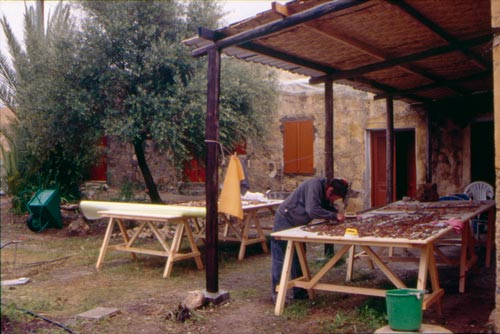
How archaeologists work

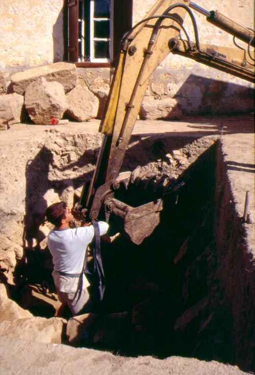
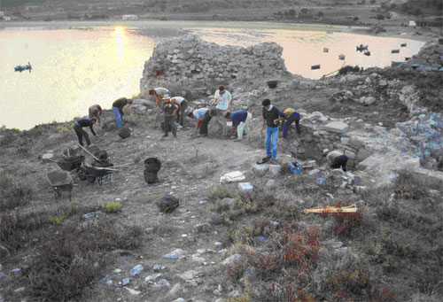
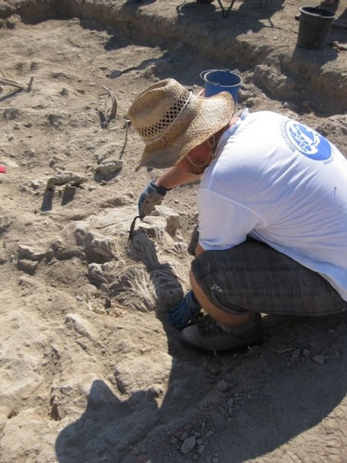
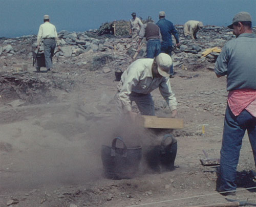
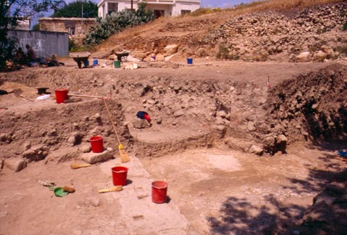
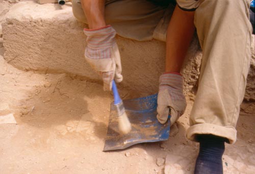
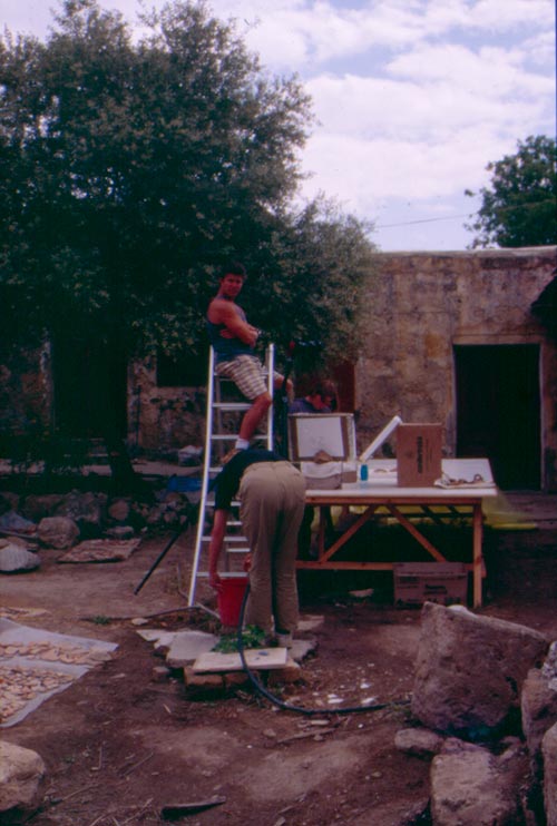
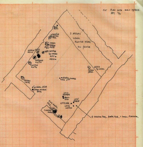
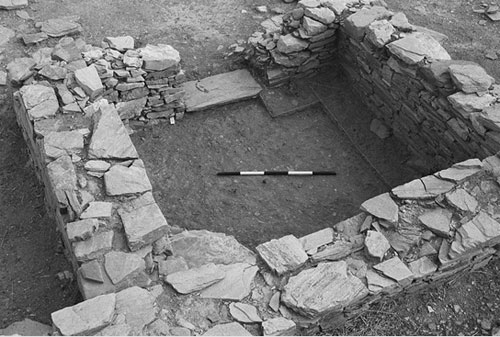
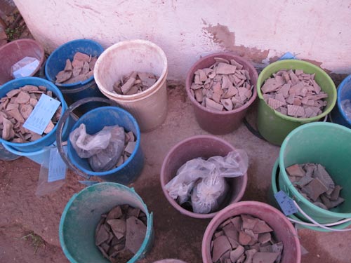
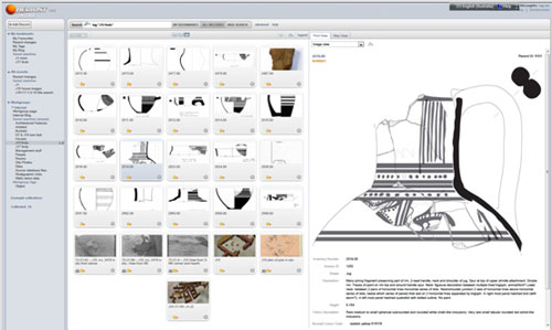
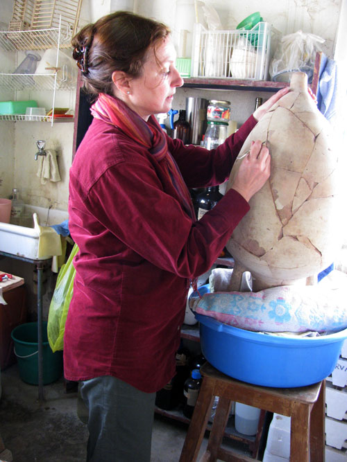
Archaeology is the study of the past through the material remains of a society. Because excavating any area of an archaeological site can only occur once, archaeologists have to be meticulous about recording the location of all movable artefacts as well as architectural remains found so that important information is not lost.

Archaeological field tools

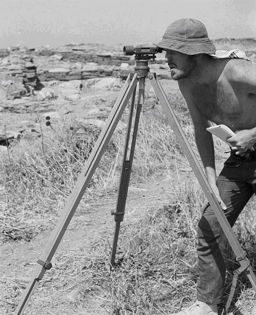
Dumpy level: an automatic level used to determine heights arbitrarily and in relation to a known point. Set on a tripod base, it is used in surveying and recording spot heights.

Theodolite: an instrument for measuring horizontal and vertical angles. Used in surveying and mapping, as well as determining heights.

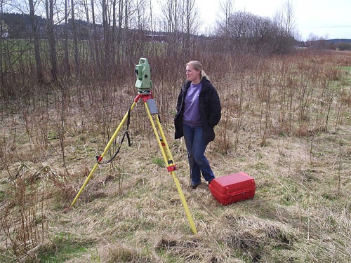
Total station: an electronic instrument used to measure angles and distances, particularly on slopes. It is used to give precise locations to artefacts and features in an archaeological survey.

Mattock: a hand tool similar to a pick axe, used for removing soil and debris.

Trowel: a hand tool, typically pointed, with a metal blade and handle used for delicate work.

Global Positioning System (GPS): is a geo-spatial positioning device with a handheld instrument communicating to satellites. Receiving co-ordinates from three satellites, it finds its location and checks its accuracy with a fourth satellite. Used in surveying, it gives precise locations to finds and features.

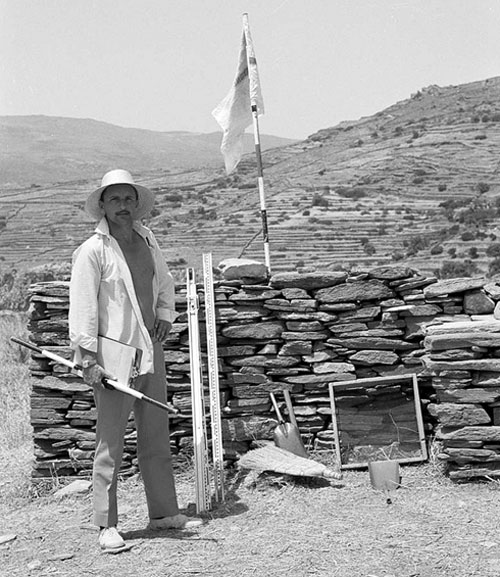
Ranging pole: a surveying instrument painted alternating red and white in 50cm intervals. Used for sightings by surveyors.

Compass: a navigational instrument showing north, south, east and west. Used as a reference for surveying and mapping.

Ground penetrating radar: abbreviated to GPR, is a geophysical instrument which uses electromagnetic radiation to detect features and artefacts underground. It can provide information up to 15m.

Differential magnetometer: also known as a gradiometer, is a geophysical instrument which sends a magnetic pulse into the ground and measures its response. Extremely sensitive to metal, it measures variations in the magnetic field and can indicate the presence of large features.

Resistivity meter: also known as a resistance meter, measures the electrical conductivity or resistance of the ground and determines unusual patterns beneath the surface which may indicate features or artefacts.

Archaeological field methods

Surface survey

A surface survey is the process of manually looking for artefacts on the ground surface. It can be used for a variety of reasons, such as to identify where buried sites and features may be located and areas with the potential for excavation. The information is often recorded on a form with accompanying photographs.

Geophysical survey
Geophysical surveys look to discover what cannot be seen to the naked eye, specifically structures, features or other phenomena below the ground surface. Typically specialists undertake the survey using instruments such as Ground Penetrating Radar, resistivity meters and magnetometers to look for subsurface features which contrast with their surroundings. These features stand out and give archaeologists information about where to excavate and what they may find.

APKAS surface survey, Kythera, 2003
Surface survey during the Australian Paliochora Kythera Archaeological Survey on the island of Kythera, 2003. © APKAS; photo by Timothy E. Gregory
Using a backhoe to remove ashlar blocks
Using a backhoe to remove ashlar blocks during The University of Sydney’s archaeological excavations at Nea Paphos in Cyprus, 1996. Photo and © Helen Nicholson
The 'Lekythos' being cleared in Torone, 1986
The 'Lekythos' being cleared at the Australian Archaeological Institute at Athens site of Torone in 1986. View from the west. © The Australian Archaeological Institute at Athens.

Site clearing

Clearing the site involves removing debris and vegetation from the surface in preparation for excavation. It can be undertaken by machinery (such as a backhoe) and by hand and may involve the removal of the uppermost layer of soil (known as topsoil).

Making a site grid

The use of an archaeological site grid is commonly a three-stage process: determine the extent of the site, set the grid, and then set the trenches within the grid. This was the process adopted at Zagora, where a grid of squares (20m x 20m) was laid across the site.

An archaeological site grid includes grid pegs and baselines to allow precise drawing and recording of finds and features in each square.

Colin Williams Surveying at Zagora in 1971
Surveying equipment is used to plan the site and also to record features. Here Colin Williams is surveying at Zagora in 1971. © Australian Archaeological Institute at Athens
Excavation grid laid over the site of Zagora
Excavation grid laid over the site of Zagora. © Australian Archaeological Institute at Athens
Total station electronic surveying instrument
Electronic tools have become more common when surveying. Here you can see a 'Total Station' being used to survey at an Iron Age site in Sweden. A Total Station is an electronic instrument which combines the function of a traditional theodolite with an Electronic Distance Meter (EDM). Wikimedia Commons

Soil removal

Soil is removed from the site in layers known as ‘strata’, which form on top of each other over time and create a series of layers or strata referred to as the ‘stratigraphy’. The highest stratum is the most recent, and digging deeper takes us further back into the site’s history. Depending on how much soil needs to be removed, archaeologists use a variety of tools including pick axes and shovels for when large amounts of soil need to be removed, and trowels and brushes for more delicate work. The soil, rubble and debris from the excavation is called the ‘spoil’ and is dumped on a ‘spoil heap’ away from the site. The spoil can be used at the end of the excavation to ‘backfill’, preserving any excavated structures or features.

Recording the site

An essential part of archaeology is recording the site, both as you find it and during excavation. Archaeologists record sites not only so that they can analyse them, but so that others (now and in the future) can do so as well. When each stratum is removed, information about it is recorded and photographs taken of the architecture and artefacts in place, or ‘in situ’. One way of finding information (particularly stratigraphy) in excavation is creating a ‘section’. This is a vertical view of the archaeological sequence of the site, exposing by recording a side view of the superimposed layers. These sections are drawn and labelled, and are important in understanding the different archaeological phases of a site.

Finds processing

Finds from the site are taken to a separate processing area (in Greece this is often a museum storeroom called an apotheke) to be cleaned and catalogued. Since artefacts of pottery are usually in fragments called ‘sherds’, part of their processing is attempting to put them back together to form a large piece or whole vessel. Fragments are often cleaned with a toothbrush under running water, but are kept in the separate groups in which they were found. Where possible, each fragment is recorded on a database such as the Heurist Academic Collaborative Database, used by the team at Zagora. Once finds have been cleaned and processed, they are labelled and stored for easy identification.

Storage

Finds are labelled so that they can be easily identified and placed into storage, often in a Museum.

Conservation

Many artefacts need work to ensure they do not degrade once they have been excavated. As they were preserved in the soil, they can easily deteriorate when exposed to different environments. Because of this, they may require extra attention such as temperature control, chemical treatment to stabilise them, specific storage or even restoration.

Wendy Reade working on the Rhodian amphora in her conservation lab at Pella, Jordan, in 2011

Study and publication

As artefacts are processed, archaeological specialists engage in researching the excavated materials. Analysis ranges from the general to the highly specific and may be inter-disciplinary: at Zagora this includes analysis of ceramics, metal finds, animal bones, organic residues and soil. The results are published and presented to allow other archaeologists access to the information.

Reconstruction of the Zagora gateway and bastion
This reconstruction of the Zagora gateway and bastion was undertaken by the original team's architecture specialist, J. J. Coulton. © Australian Archaeological Institute at Athens
Reports from excavations
Reports from excavations can be published in monograph form as with 'Zagora 1' and 'Zagora 2' (right) or in journal articles. To the left is the official journal of the Australian Archaeological Institute at Athens, 'Mediterranean Archaeology'. Photo by Wayne Mullen. © Australian Archaeological Institute at Athens
Stavros Paspalas presenting a paper at a conference
Archaeologists don't only circulate information to their colleagues through publications. Conference papers and seminars are often used to present their latest research. Here is Dr Stavros Paspalas, Deputy Director of the Australian Archaeological Institute at Athens, presenting a paper. © John Fardoulis