Powerhouse Museum Online Producer
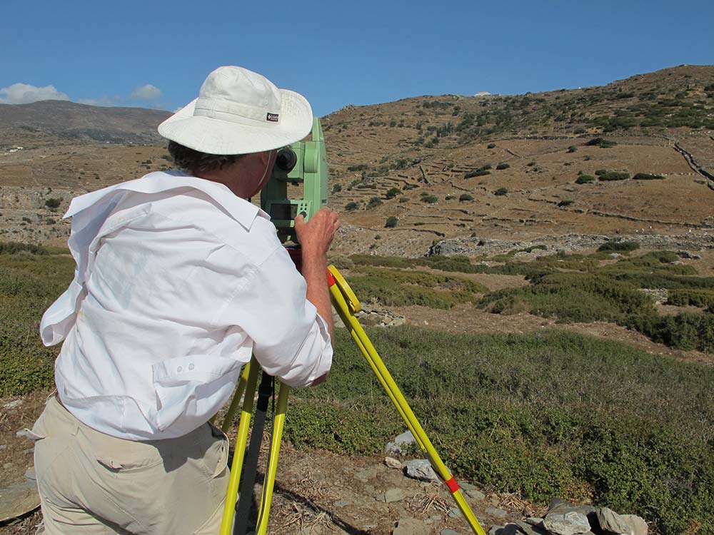
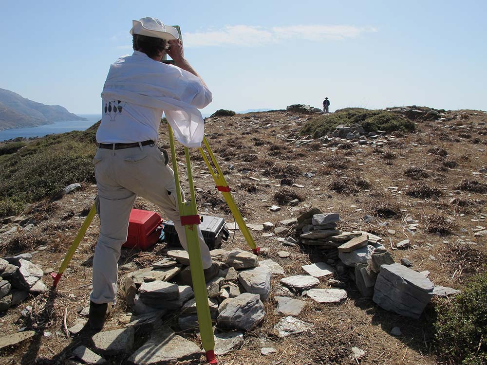
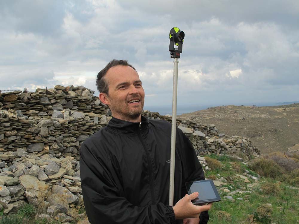
A Total Station is an electronic/optical device that uses laser signals to determine precise locations (to within about half a centimetre).
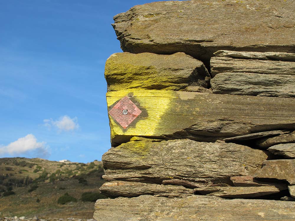
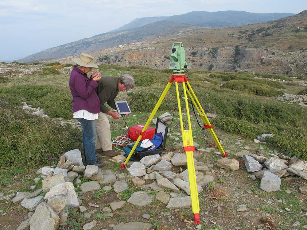
In the application at Zagora, it enables the archaeologists to establish a precise frame of reference on the land, and is also being used to confirm the exact location of our test trenches. This means that if any architectural structures or artefacts are located in the trenches, their exact location will be known.
Until the Total Station was developed, surveying was done with theodolites which measured angles only, and three-dimensional surveying was only possible within the very limited range of traditional distance measurement which meant hand measurement with surveying tapes.
Once the position of the Total Station has been determined, it is a simple matter to measure the position of anything that can be sighted from that position.
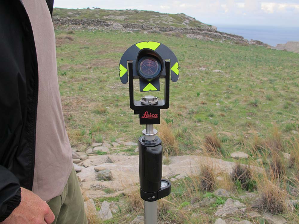
So, for example, if the Total Station were to send its signal to each corner of a stone making up a stone wall, the CAD software would create a drawing of that stone wall, with the precise location of each stone being recorded.
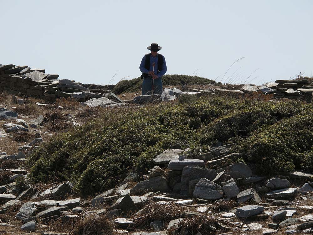
Total Station surveying has been done at various stages of the Zagora Archaeological Project, and the results of the survey are being relied upon to establish locations throughout the site, and to ensure the precise location of any trenches to be dug and building structures or artefacts that are uncovered during excavation.
The great advantage of the Total Station is the speed and accuracy of determining location. It doesn’t actually do anything a tape measure and a theodolite couldn’t do – but it does it far more easily and accurately.
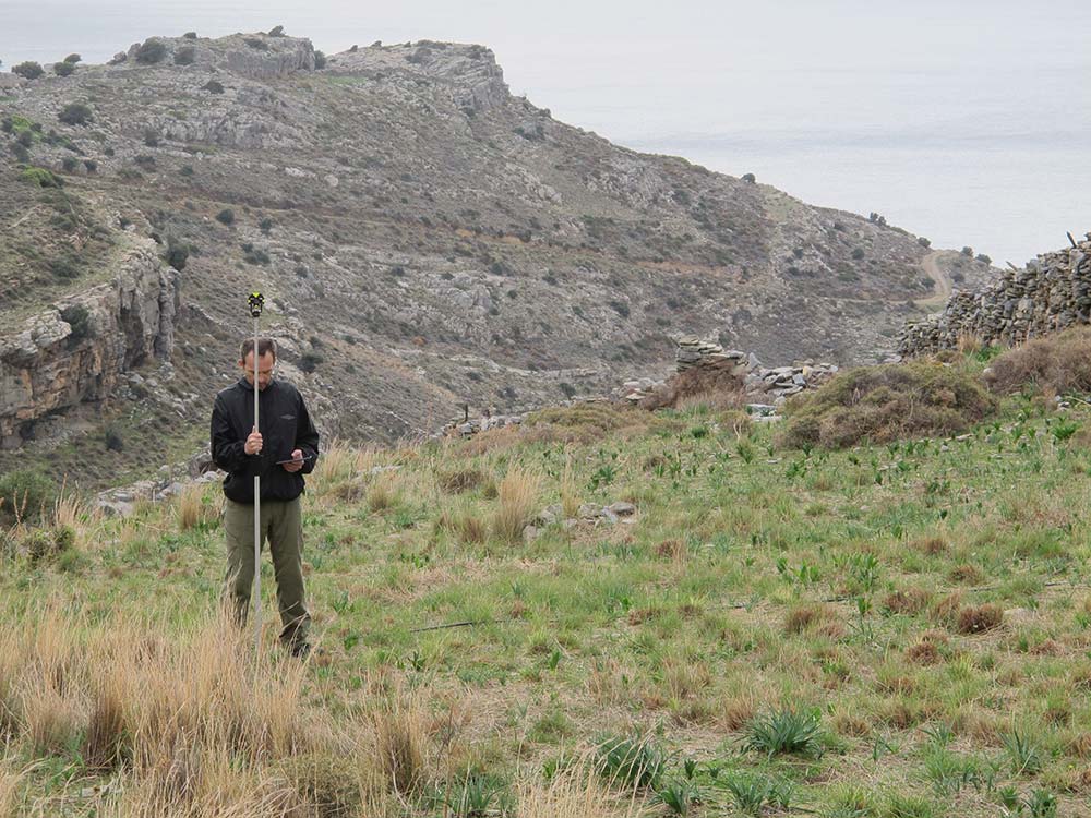
In order to understand the way people use the landscape you have to know where all the elements of the site are in relation to other things. It’s about understanding the space that people created and occupied. That’s why you need to know how big rooms are, where walls are, where artefacts are found – to know the relationship between these things.
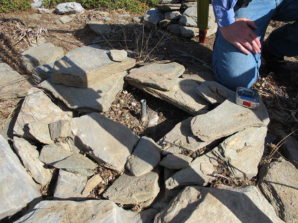
One of the main reasons why great accuracy is important is so we know as reliably as possible where artefacts were found – because once they are removed, there is no putting them back. So we need to record where they were located with certainty.
Richard Anderson, Emeritus Architect, Athenian Agora Excavations, has led the Total Station survey team; together with Andrew Wilson and Rudy Alagich, though other team members have also helped on occasion.
© PHM; photo by Irma Havlicek
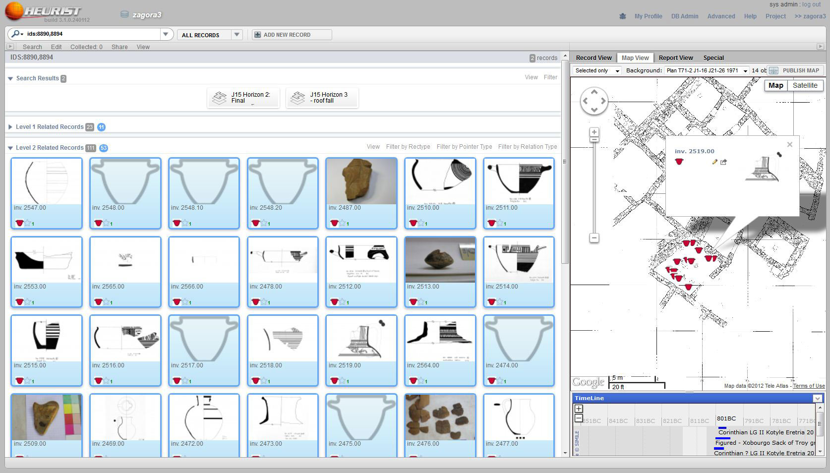
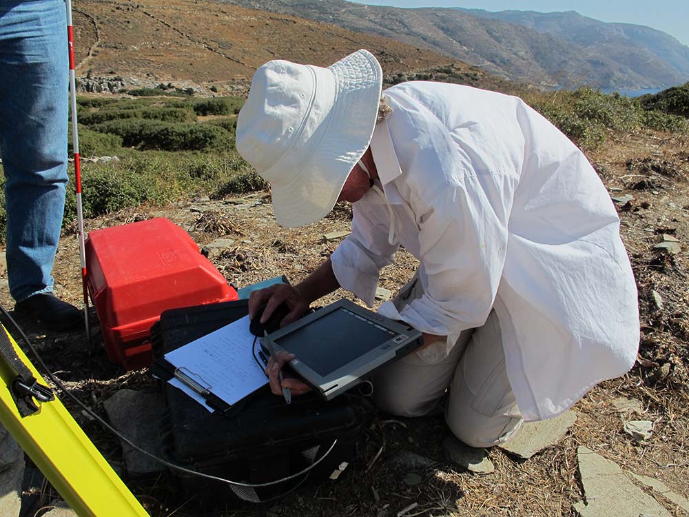
Andrew Wilson makes use of the field data in a variety of applications. These include ArcGIS, a widely used geographic information system, and Heurist, the University of Sydney’s humanities research database. The GIS can be used to produce basic plans, more complex analyses of the archaeological data and 3D visualisations of the site and its structures.
The Heurist database is used to build and maintain the complex relationships between the artefacts and other evidence from the site, the locations where they were found and the interpretations that team members develop about them, as well as associated publications and comparable examples from other sites.