
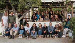
by Irma Havlicek, Powerhouse Museum Online Producer
with Andrew Wilson, Archaeologist and Database Specialist
representing Arts eResearch at the University of Sydney
Developments in technology are enabling huge advances in how we can record – and later easily filter and aggregate – information, and the Zagora team are taking advantage of the benefits of such technologies.
A new system is being developed by Arts eResearch at the University of Sydney to enable digital recording on the spot of all relevant information for each grid.
Andrew Wilson from Arts eResearch and Beatrice McLoughlin from the Australian Archaeological Institute at Athens (who is Finds Manager on the Zagora project) are providing feedback daily to Arts eResearch to customise the system. This is part of an Australia-wide project called FAIMS (Federated Archaeological Information System), led by Dr Shawn Ross at the University of New South Wales.
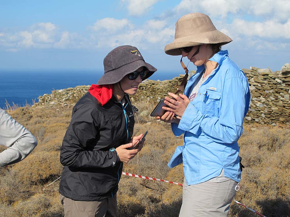
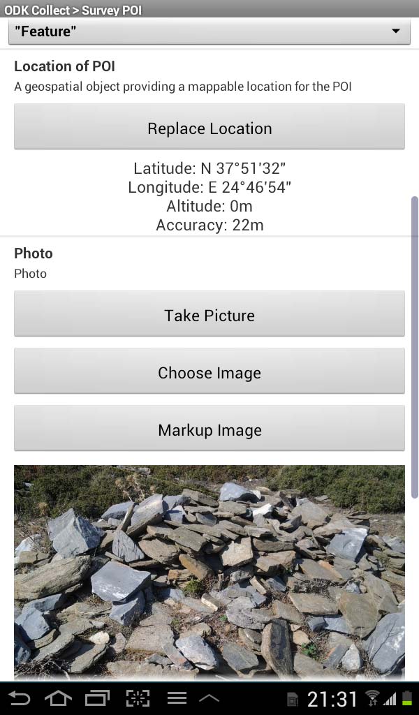
The team leader is given a digital tablet which has been equipped with the newly developed software on which the following kinds of information is entered:
– Location of the grid by letter and number, eg, H0040, meaning the grid numbered 0040 in the H 100 metre square grid (the tablets also record the location with inbuilt geo-location capability). More about the grid system here.
– Date and time.
– Visibility to the soil surface where artefacts may be found. When calculating visibility for a grid, areas which can not have had geophysical analysis, for example, the large spiky holme bush areas and the large rock piles, are excluded from the calculation.
– Soil cover / vegetation.
– Points of interest (known as POIs) These include any indications of human activity such as building structures including rock walls whether standing or collapsed; any significant object apart from the usual kinds of pottery sherds that have been found in the location, for example, any pieces of slag, or any stone piles.
Here is a screenshot of one of the tablet views, to give you an idea of the interface and the kinds of information provided with each record:
Stone piles will generally require further research to determine whether they are the results of a settlement house collapse (over time, usually the roof falls in first, then the walls fall in), or are the remains of ancient walls or more recent walls – for example built by farmers using the site in more recent times.
The information is geo-located within about 30 seconds (accurate to within about four metres), and photographs are also taken with the tablets and incorporated into the record for the site.
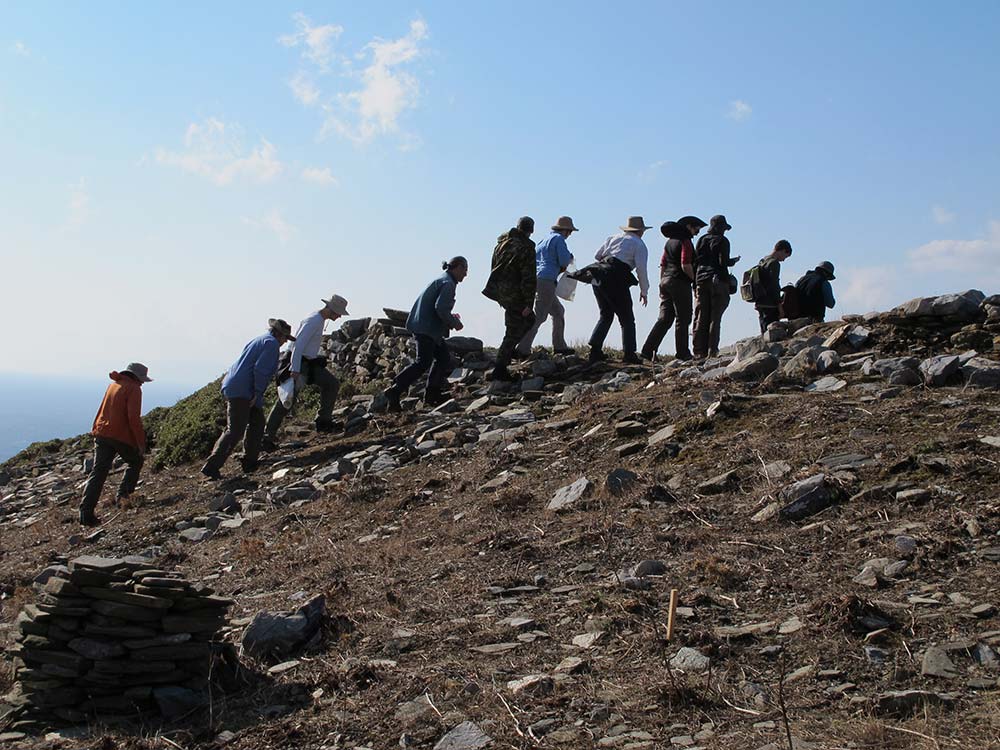
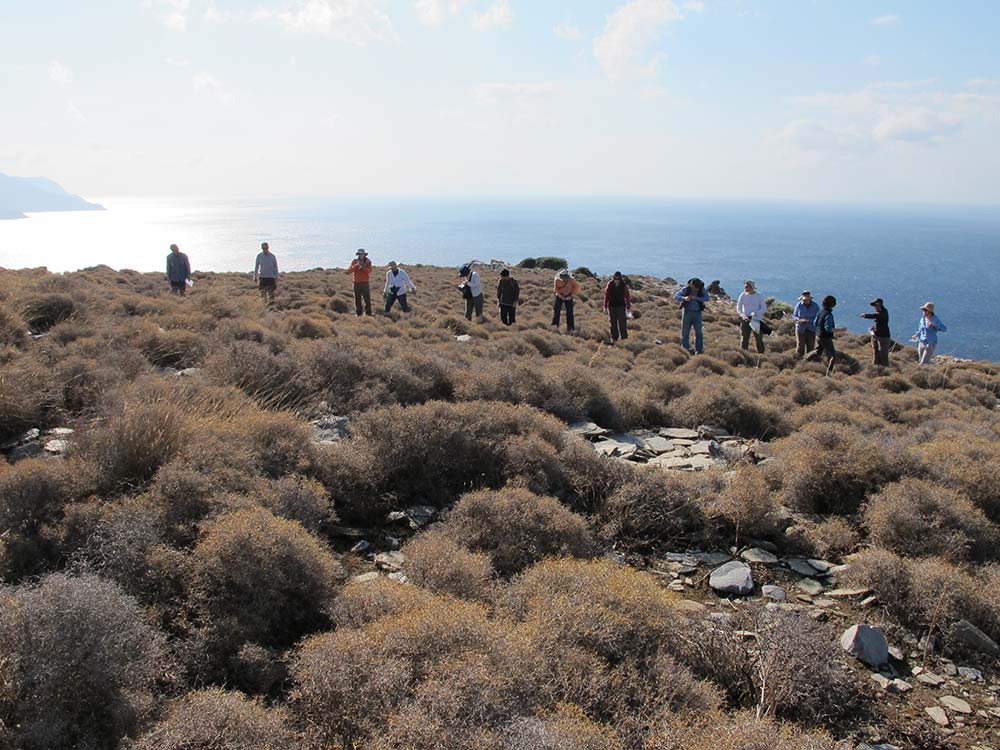
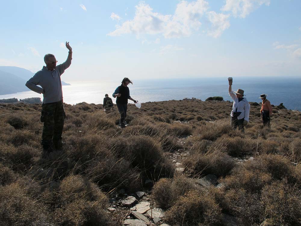
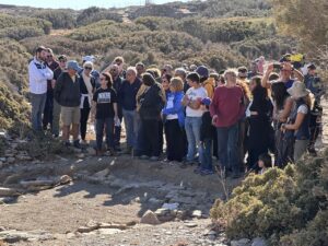
Up to 15 teams can work the site grids at any time as there are 15 tablets available for use.

Once information from all the grids is entered into the central database, a fuller, richer picture of the site will emerge. The project team leaders will then assess this information, in combination with the results of the geophysical survey, to determine where to dig test trenches in the coming weeks.
The only records we have now of written communication from the time of the Zagora settlement are the decorations left on pottery. These remain for us to ponder and try to understand now, almost three thousand years later. And now we are recording our findings about Zagora digitally. I wonder, will our digital recordings remain for others to ponder in another three thousand years?
9 thoughts on “Zagora goes digital”
Following the “geometric grid” post (a great basis to work from) this account of
digitisation of the site is the real nitty gritty. My guess is that students will respond to this post with a high degree of interest. I appreciate the philosophic speculation about the march in time from ceramic decoration to digital tablets.
Thanks for your kind words. We’re certainly hoping to inspire students with the work of archaeology at Zagora.
I’m glad all the tablets are in Bea’s safe, safe hands!
Didn’t Moses have some kind of mishap with the first set of tablets?? Better luck this time, Paul.
That Moses got cranky which is what caused that mishap. Our Moses (Paul) doesn’t get cranky – in fact, I’ve been surprised to discover what a delightful and quirky sense of humour he has.
Great story, what brand of tablet is being used and how easy/difficult is the screen to read the the bright sunlight?
We are using a combination of Samsung Galaxy 7 small tablets that are easy to hold in one hand and larger Lenovo ThinkPad tablets for less mobile work. With high screen contrast and brightness we have little difficulty reading them even in bright sunlight. It is important to position the tablet in full sun or shade for visibility – but everyone agrees that it is much easier to use them than paper in the high winds you see in the Video review of first week blog entry.
It’s great to see the powers of technology for archaeological research. How has the technology been faring over the past couple of weeks? All smooth sailing?
As far as I know the technology has been cooperating. Apart from the difficulties of using some of the geophysical instruments in the field in difficult (especially windy) weather, I think there have been no problems. The tablets have been working extremely well; but there has been frequent ‘tweaking’ of the system to make it more responsive to realities in the field. Our tablet expert, Andrew Wilson, is the best person to talk about this. I only have three more days here now. But I will see if he can do a post about the use and effectiveness of the tablets. And I’m thinking we will keep posting to the blog even after the research season is over.