This is part 2 of the Directors’ plans for 2013 Zagora excavations post. See part 1 here.
The architectural plans of Dr J. J. Coulton
The work of the 1960s and 70s is the foundation from which the project directors are working. In particular they refer often to the architectural plans made by the highly respected Dr J. J. (Jim) Coulton, who was the site architect then. We are thrilled that he will be visiting the site this year, and I hope to interview him for this blog.
Coulton’s drawings provide a vivid and clear visual representation of his impression of the buildings and people at the time of the settlement. They are published in the ‘Andros Museum Guide’.
They are also being used by Powerhouse Museum web producer/ designer, Kate Lamerton to inform and inspire the downloadable, printable ‘Geometric settlement model‘ she is developing. The model is designed to be printed on paper or card, and to be made by children (with adult supervision), and is intended to introduce children to the concepts of a Geometric period settlement
Coulton’s plan of the site has also informed the plans that have been developed with the use of modern technologies over the last year. The plan below shows that Coulton had an interest in apparent buildings walls visible at the soil surface level, at the far south of the site, beyond the far field wall across the site. But these were not excavated in the time available during the 60s and 70s.
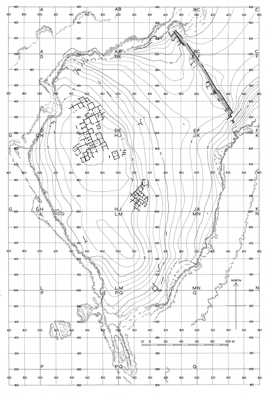
Coulton’s plans included suggestions of building structures in areas that are being excavated this year, for example, excavation area 5 in the far south (Paul Donnelly is trench supervisor); excavation area 4 the other side of the field wall a little to the north of excavation area 5, (Kristen Mann is trench supervisor); and also excavation area 1 to the north of the site (Ivana Vetta is trench supervisor). So work will take place in areas where archaeological remains were known about in the 60s and 70s, and plans of which have been published in the ‘Andros Museum Guide’, as well as in other areas.

Modern architectural features in plans
A deliberate decision of the 60s and 70s team was not to include any modern architectural features (i.e., field walls, the shepherd’s hut or our dig hut) on the plans. Those plans endeavoured to reproduce as authentically as possible what was known about the settlement period at the site.
The directors of the current project understand and appreciate this decision. However they have decided to include the modern field walls in the plans now being produced as it makes the site easier to understand. You can more easily orientate yourself in the site in relation to the most prominently visible architectural features on it which are the modern field walls which cross the site.
The five excavation areas
The five areas being excavated this year are as follows:
Excavation area 1 – trench supervisor, Ivana Vetta
This area is to the north of the site and has not been previously excavated.
Excavation area 2 – trench supervisor, Mel Melnyczek
This area crosses sectors D and H which were partly excavated in the 1960s and 70s;
Excavation area 3 – trench supervisor, Dr Hugh Thomas
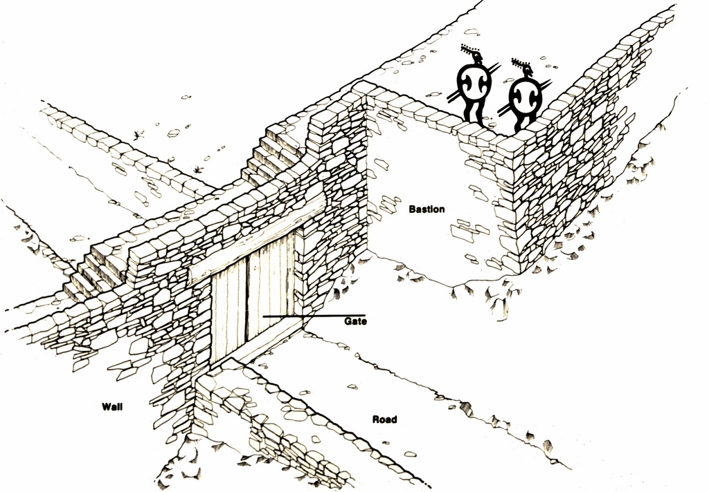
This is just inside the main gate in the fortification wall and has not been previously excavated.
Excavation area 4 – trench supervisor, Kristen Mann
This is just to the south-east of the areas previously excavated in the M sector.
Excavation area 5 – trench supervisor, Dr Paul Donnelly
This is at the southern end of the site and has not been previously excavated.
The base trench size for excavation areas is usually 5 metres by 5 metres. But where there are architectural structures which won’t fit neatly into a 5m x 5m square, we’re moving away from the strict 5m x 5m arbitrary designation of a trench, and excavating those as integral structures so that we can get a better understanding of what’s inside the structure.
In coming posts I will provide information about the reasons the directors selected each of the five areas being excavated this year, and what is hoped may be discovered from excavating in those areas.
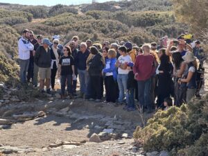
First days’ work on planned excavation zones
In the first days of the season, vegetal growth had to be cleared from the top of previously unexcavated areas. This was done initially with a chainsaw down to just above ground level. Beyond that, the work has to be done painstakingly, by hand.
In areas that had been previously excavated, backfill (stones and soil that had been placed there to protect the trench from potential damage by weather or other environmental conditions or by passing animals) had to be removed. In one case, the trench was sited below a stone clutter pile that had to be removed.
Thanks
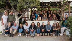
Thanks to Prof. Margaret (Meg) Miller and Dr Lesley Beaumont for the conversation on site at Zagora on Wednesday 25 September 2013 which provided most of the content for this post.