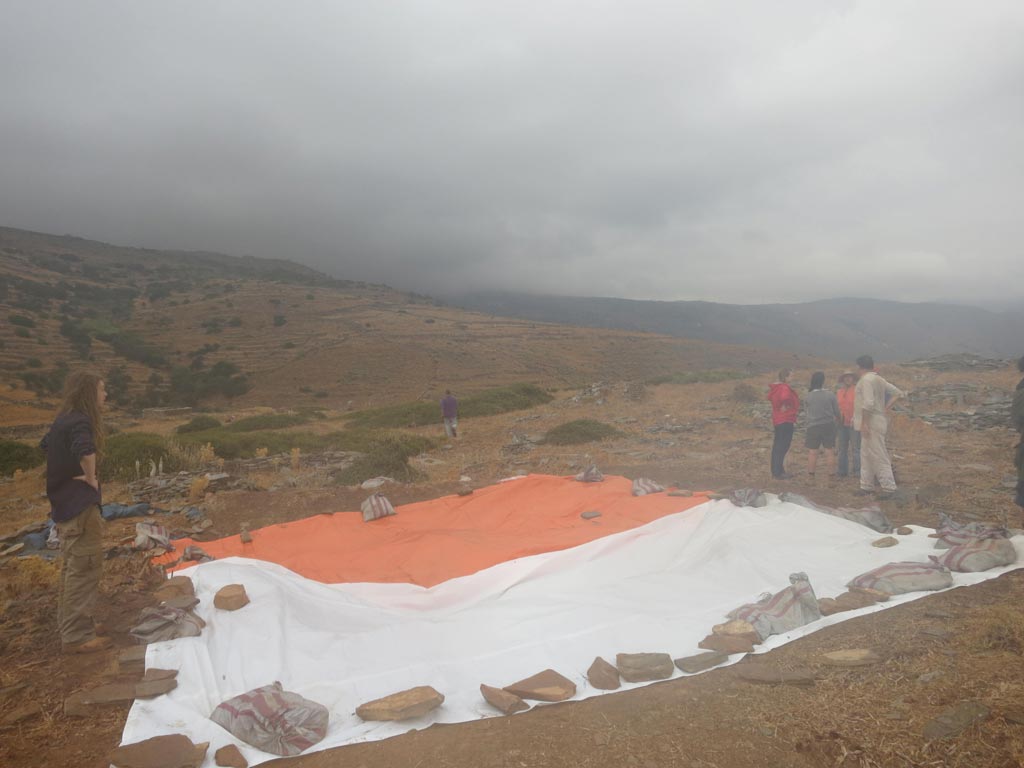
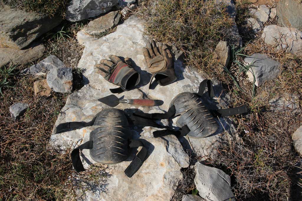
In one day at Zagora you can encounter every type of weather. Blasting cold winds up around the 50 km per hour mark, baking sun beating down or driving rain soaking everyone and everything to the core. Along with attempting to protect yourself from these slightly ‘hostile’ conditions, protecting the delicate archaeology definitely takes top priority!
As the clouds drew in on Friday, the thunder started to roll and the rain began to fall, we found ourselves in this predicament. Immediately the teams stopped work and all banded together with one aim – to cover the trenches and the tools as quickly as humanly possible.
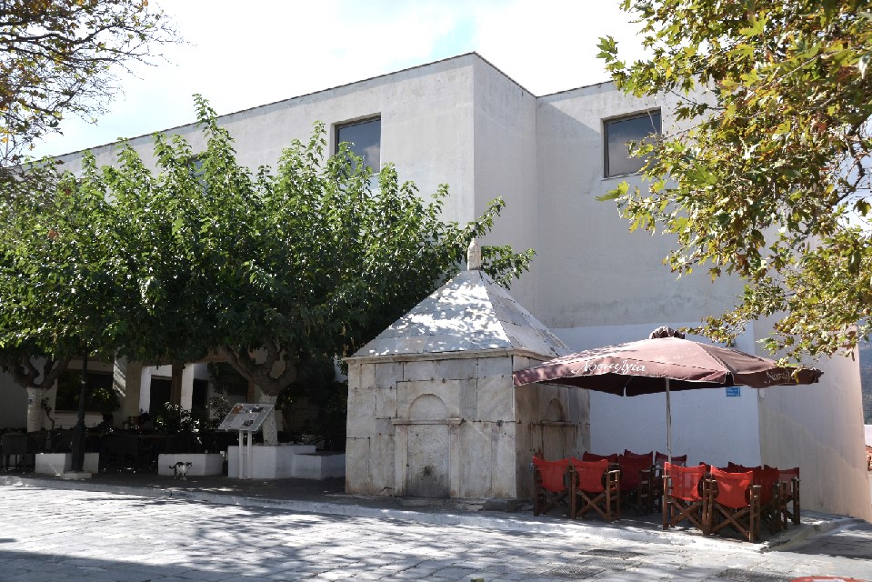
Our time in Chora has not been all work. We have had the opportunity to visit the Cycladic Olive Oil Museum and a trip via boat to the beautiful Achla Beach thanks to our host Jannis at the Karaoulanis – Riva Apartments where we were staying in Chora.
Having enjoyed my first experience of Andros and the Zagora Archaeological Project in 2013, I was keen to return for the 2014 season. I had mentioned to the Directors of the project at the end of last year’s season that should they need any extra assistance for 2014 that I would love to be part of the team in any capacity.
And so here I am back on beautiful Andros, as a member of the study season team working in the Apothike (basement/storeroom) of the Archaeological Museum in Chora. For me this has been a great experience as I have been able to work with the Project Research team, Director, Stavros Paspalas; Researcher and Archivist, Beatrice Mcloughlin and Archaeologists Kristen Mann and Antonio Bianco, who are both Trench Supervisors for the 2014 season.
There are ferry tickets to book, dig clothes to dust off and endless supplies of Bandaids and Voltaren to purchase (in preparation for the Known Ailments – blisters of slightly scary proportions and joints and muscles aching beyond redemption), we pack and prepare for the season ahead.
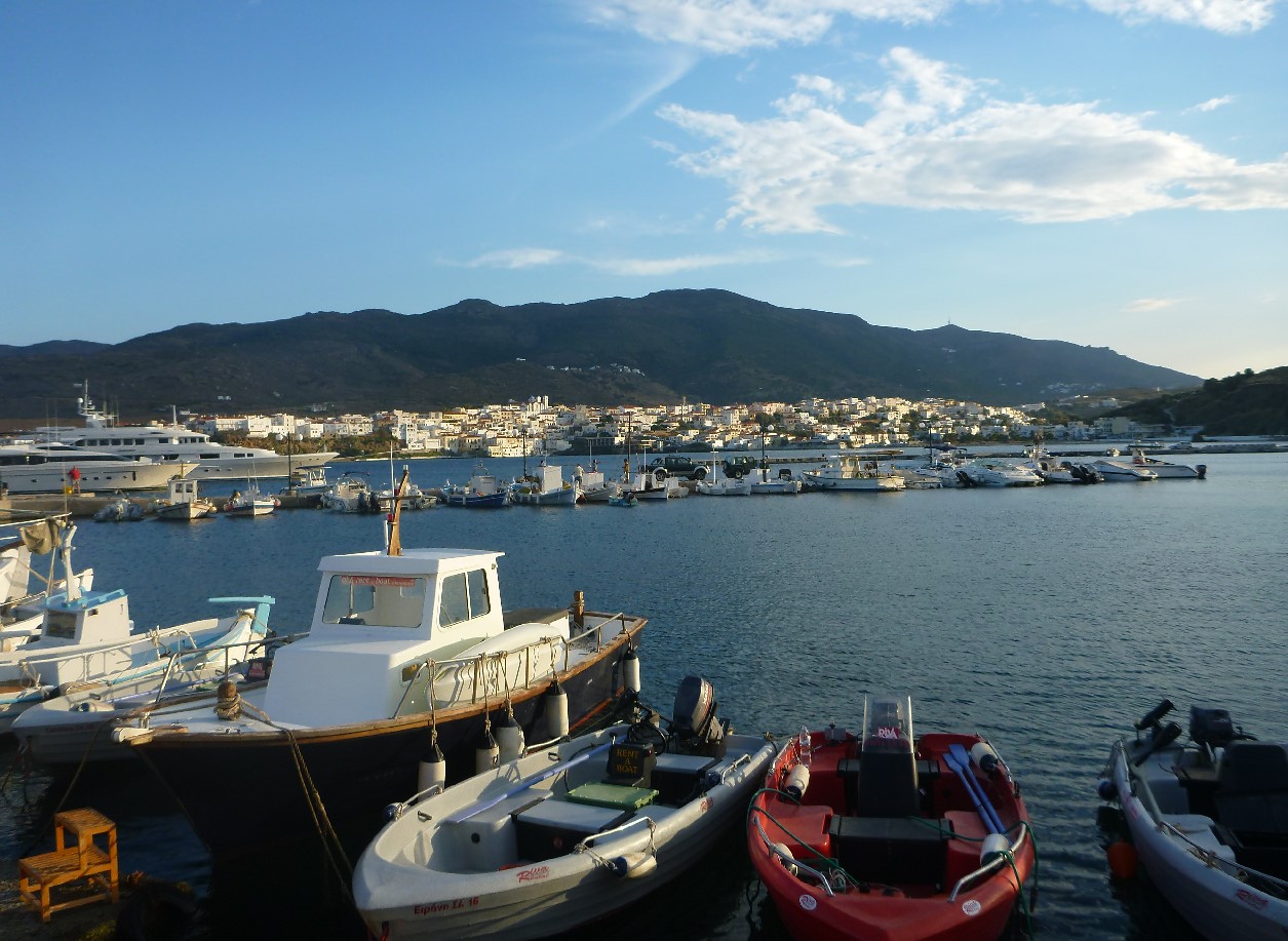
On embarking the ferry, you sneak a peak at your fellow travellers, could this be a new dig friend? Looking around for those tell-tale signs – a dusty looking bag or possibly the unavoidable fashion faux pas of the dig boots. While they do no summer frock or board-shorts justice they are simply too heavy to pack and make for an interesting ‘look’. As the boat comes into the port and the ramp is lowered, people, bags and cars all tumble out into the gleaming sunshine of Andros. Then, with the ferry accomplished it’s onto the distinctive little blue island bus, and you are bound for Batsi.
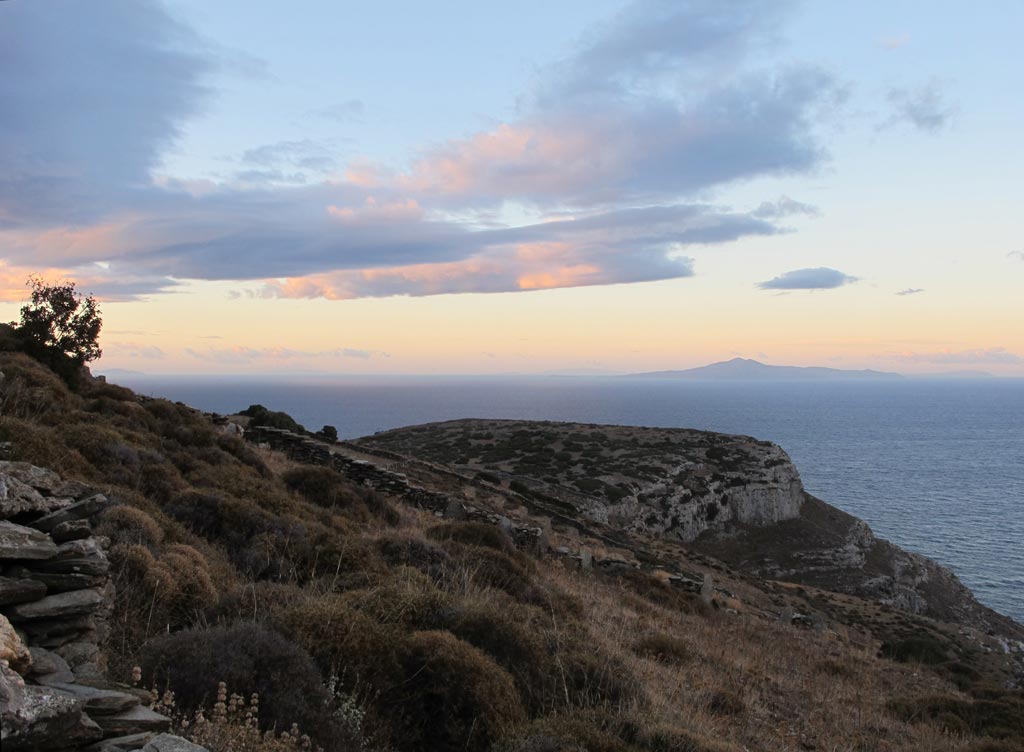
I thought it may be useful to 2014 Zagora Archaeological Project (ZAP) team members who have not yet been to Zagora to get a picture of the site and how the day’s work generally commences. (This year’s excavation season starts next Monday, so many team members will be travelling to Andros this week.)
Breakfast is usually at 5.30am in the Kantouni pensione dining room, with departure for the site in the various Zagora vehicles at 6am. Start times can change according to sunrise time. The aim is to get to Stavropeda, where the vehicles are parked for the day, as the sun is rising, so that team members have enough light to safely walk down the rocky path to Zagora. Safety is ALWAYS the primary consideration. Stavropeda is about a 20-minute drive from the Kantouni at Batsi.
Permission has been granted by the Greek Ministry of Culture, paperwork filled out, schedules set, staff and volunteers recruited, flights and accommodation booked, insurance arranged, van/car hire planned (along with who will be designated drivers in Greece), and the vast variety and volumes of equipment and supplies selected, hired or purchased, along with planning how to get it all to Zagora. A huge task of logistics.
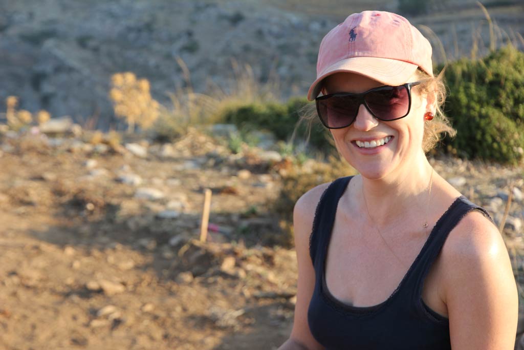
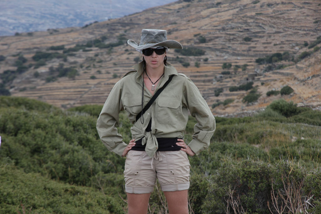
Kristen is interrogating the layout and configuration of spaces at Zagora to try to understand how people lived there three thousand years ago, and to determine how archaeologists may be able to interpret behaviour from household arrangements.
Kristen is interested in access and use of space, and how people moved through and around the buildings and the settlement.
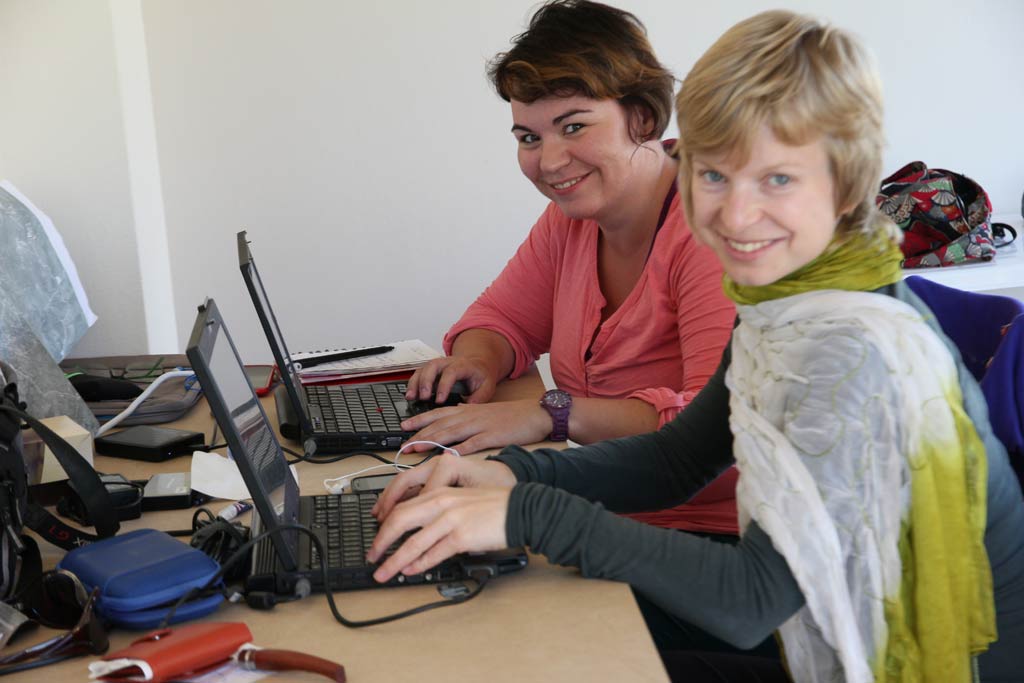
As a follow up to the post about satellite remote sensing, I thought I’d add a post about Adela and Petra’s respective paths (qualifications and experience) which led to their remote sensing work. This post is derived from the interview I conducted with Adela and Petra at Batsi in October 2013.
Adela Sobotkova on the pathway, pointing towards Zagora. Photo by Petra JanouchovaAdela: I took Remote Sensing classes at University. I learned how to use the ERDAS Imagine software, and then I have practised a lot. It takes about one semester to learn to work with the software, and to grasp the basic physics and optics of how it works.
My training is in Archaeology. The remote sensing is a secondary interest. It’s a hobby and it’s also a technical expertise that I’ve found very useful for my own focus area which is, methodologically, I’m a survey archeologist. My main approach is landscape archaeology. I’m interested in regional study, regional investigations, and any methods that can help me assess large areas quickly and efficiently.
One of the techniques used during the Zagora Archaeological Project in 2013 was satellite remote sensing. This is the analysis of one or more photographs taken from a satellite to indicate where further exploration is likely to be most productive. In the case of the Zagora Archaeological Project, remote sensing was conducted in a radius of five kilometres around the site of Zagora, to look for evidence of archaeological remains or geological features in the environs of Zagora, further exploration of which may reveal more about the Zagora settlement.
Satellite remote sensing was conducted around Zagora in 2013 by Dr Adela Sobotkova (Research Fellow at the University of New South Wales (UNSW), managing the Zagora remote sensing) and her colleague, Petra Janouchova, (Ancient History PhD student at the Charles University in Prague, and Adela’s assistant).
Satellite remote sensing is a developing field as the quality of both satellite photography and the analysis software improves.
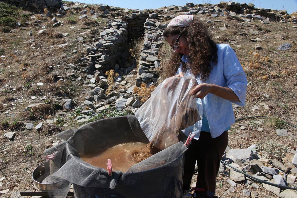
For the first time at Zagora in 2013, soil samples were collected and processed through flotation in order to recover organic remains to find the charred, small, light material which floats to the surface of the water. This process had not been developed 40 years ago when the excavations of the 1960s and 70s took place at Zagora.
Organic plant material such as wood and plants decomposes over time, so such material from the period of the Zagora settlement no longer exists. If it has been burnt and transformed into charcoal, it can survive thousands of years which makes it extremely valuable in providing information about the kinds of plants which occurred at particular locations at different times.
The existence or absence of organic material such as tiny fish bones, shell fragments, seeds and charcoal in occupation deposits can provide evidence of ancient diet and domestic and industrial economy and activities at Zagora. We can also learn about the general environmental conditions in which the Zagoreans lived because organic material can inform us about plants that aren’t exploitable by humans but still throw light on the climatic and other environmental conditions there at that time. Fragments of heavier material such as obsidian, slag and pottery sherds can also be found through this process. If sampling for organic remains had not been undertaken, this information would be permanently lost.